

Beskrivning
Art.nr: 9780721709383
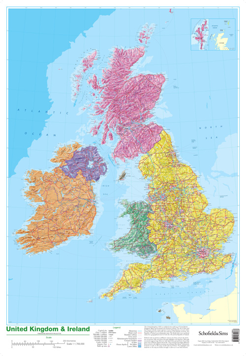
This detailed relief map of the United Kingdom and Ireland is colour coded to show the area of each country and large city. County boundaries are marked, as are rivers, motorways, ports and airports. An explanation of the political relationship between the countries is given, alongside information about the distance from sea level to Ben Nevis.
Wipe-clean laminated poster, ideal for the classroom. 53x77 cm.
Wipe-clean laminated poster, ideal for the classroom. 53x77 cm.